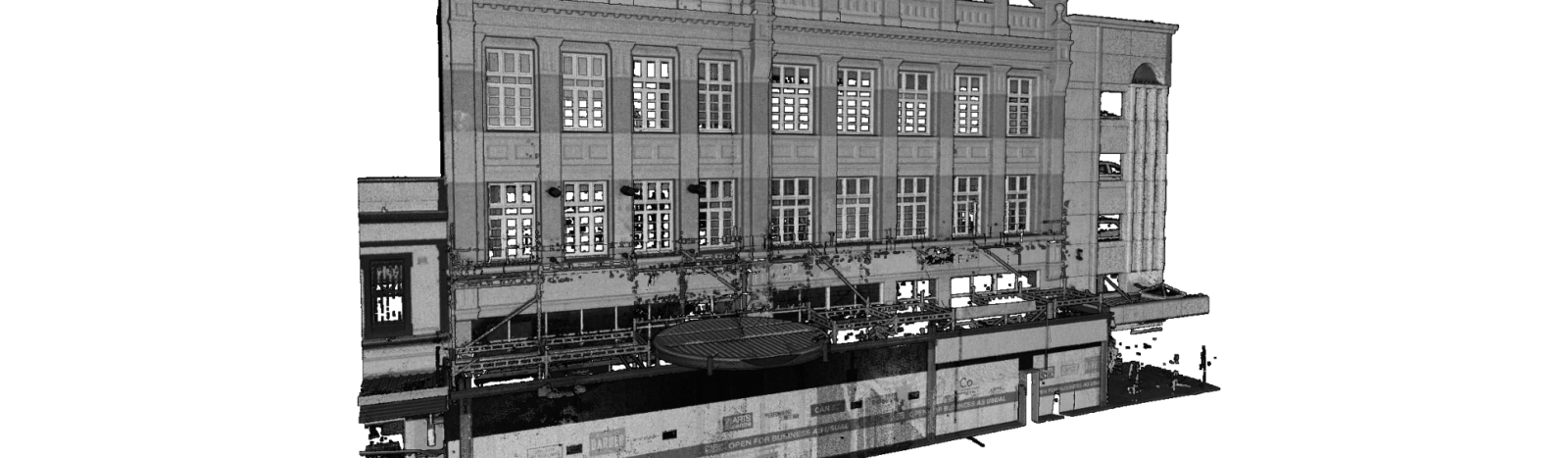
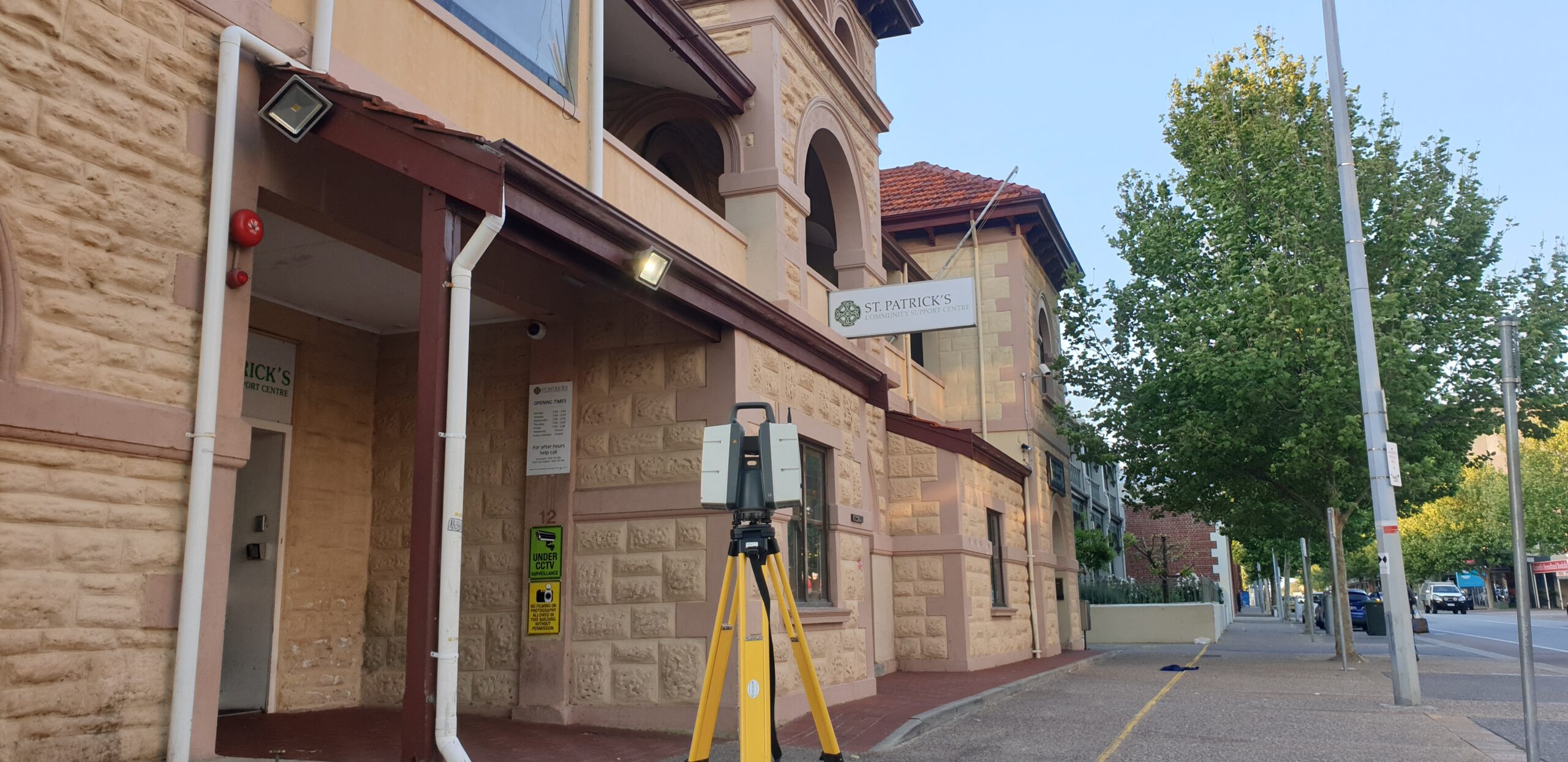
Banner of Laser Scanning

Laser Scanning

Laser Scanning - Terrestrial

Fast becoming the norm in the industry for precision surveying, 3D laser scanning is greatly utilised in various instances providing a more precise and a safe alternative to traditional surveying.

Our surveyors are able to collect a high level of detail of a structure or object from a distance allowing the structure or component to be surveyed even in unsafe working environments no matter what time of the day.

Laser Scanning - Terrestrial

The data collected from laser scanning enables 3D Modelling and building information modelling.

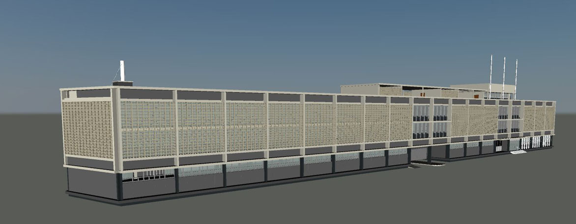
Laser Scanning Applications

  • As-built surveys
  • Site/Engineering surveys
  • Topographic surveys
  • Architectural Restoration
  • Heritage Site/Conservation Surveys
  • Deformation Analysis
  • Pipeline Surveys
  • Profiles and Volumes
  • Construction Inspection
  • Bridge, Overpass and Tower Surveys
  • Volume-metric Surveys

 
Other

Services

Follow Us
we’re social On
  • Sign up
Lost your password? Please enter your username or email address. You will receive a link to create a new password via email.